
The Ultimate Guide to Drone Mapping Services in Australia
JW
Introduction to Drone Mapping Services
In recent years, drone mapping services have revolutionized various industries across Australia, offering unprecedented levels of detail and efficiency. From agriculture to construction, drones provide scalable solutions for capturing high-resolution aerial images and data. By leveraging advanced technology, businesses can gain more precise insights, reduce costs, and improve decision-making processes.
What is Drone Mapping?
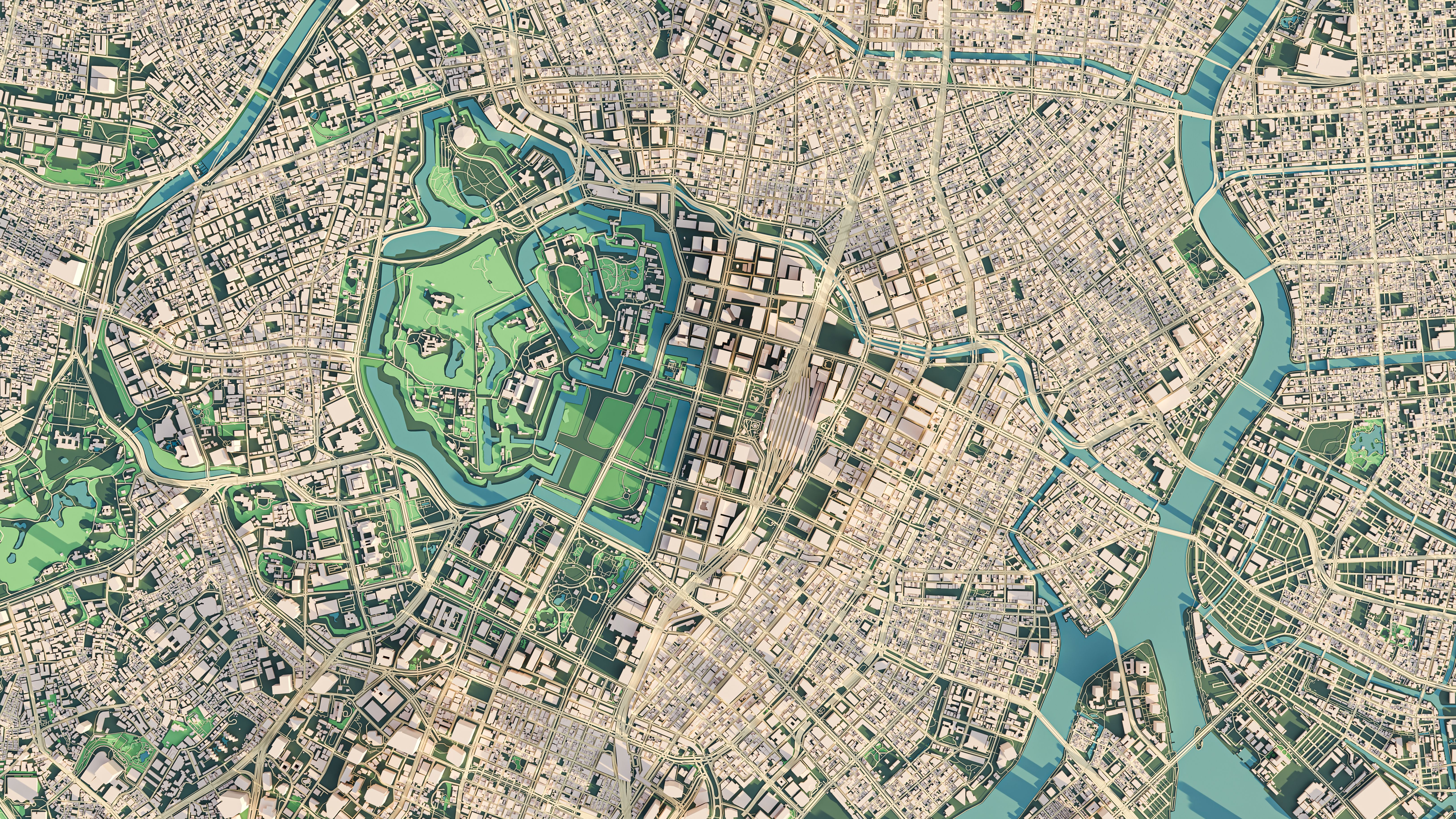
Drone mapping involves using drones equipped with cameras and sensors to capture images from the sky. These images are then processed using specialized software to create detailed maps and 3D models. This method allows for comprehensive analysis of large areas in a fraction of the time it would take using traditional methods. The data collected can be used for a variety of applications, including topographic surveys, infrastructure monitoring, and environmental assessments.
Benefits of Drone Mapping
The advantages of drone mapping are numerous. Firstly, it significantly reduces the time required to gather data over large areas. Secondly, drone mapping provides high-resolution data that is often more accurate than ground-based surveys. Additionally, it enhances safety by eliminating the need for workers to access potentially dangerous sites.
Industries Leveraging Drone Mapping in Australia
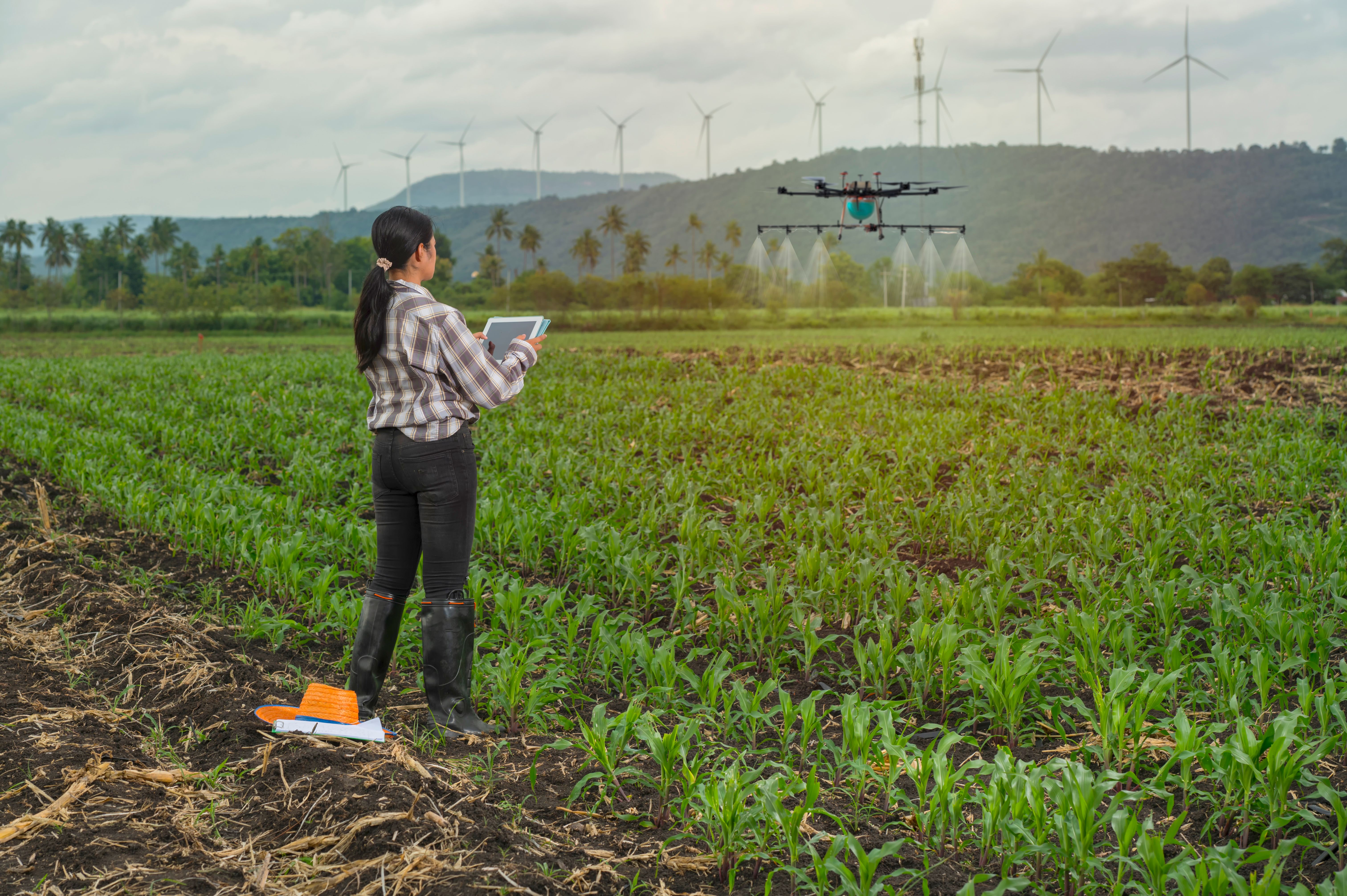
Several industries in Australia are harnessing the power of drone mapping. In agriculture, drones are used to monitor crop health, optimize irrigation, and assess yields. Construction companies utilize drones for site inspections, progress tracking, and 3D modeling of structures. Environmental agencies employ drone mapping for habitat monitoring and conservation efforts.
Key Features of Modern Drone Mapping
Today's drone mapping services offer a range of features that enhance their utility. Some of the most notable include:
- Real-time Data Collection: Drones can provide immediate updates, allowing for swift decision-making.
- High-Resolution Imagery: Capturing detailed images for precise mapping and analysis.
- 3D Modeling: Creating accurate three-dimensional representations of landscapes and structures.
Challenges and Considerations
While drone mapping offers many benefits, there are challenges to consider. Weather conditions can impact flight capabilities and data quality. Compliance with aviation regulations is critical, requiring operators to be licensed and adhere to safety standards. Moreover, data privacy and security remain important considerations when dealing with sensitive information.
Choosing a Drone Mapping Service Provider
Selecting the right service provider is crucial to maximize the benefits of drone mapping. Look for companies with a proven track record, comprehensive service offerings, and cutting-edge technology. Consider their experience in your specific industry and their ability to deliver tailored solutions that meet your needs.

Conclusion
Drone mapping services are transforming how businesses across Australia approach data collection and analysis. With the ability to deliver high-quality insights quickly and safely, drones are becoming indispensable tools in various sectors. By understanding the capabilities and limitations of drone mapping, businesses can leverage this technology to achieve greater efficiency and accuracy in their operations.