
How Drone Mapping Services Transform Industries in Australia
JW
Introduction to Drone Mapping
Drone mapping services are rapidly transforming industries across Australia. By leveraging advanced technology, businesses can achieve unparalleled precision and efficiency in their operations. Drones equipped with high-resolution cameras and sensors are revolutionizing the way industries conduct surveys, inspections, and data collection.
These unmanned aerial vehicles (UAVs) are increasingly popular due to their ability to cover vast areas quickly and provide detailed insights. The implications for industries such as agriculture, construction, and mining are substantial, offering new perspectives and solutions to traditional challenges.

Enhancing Agricultural Practices
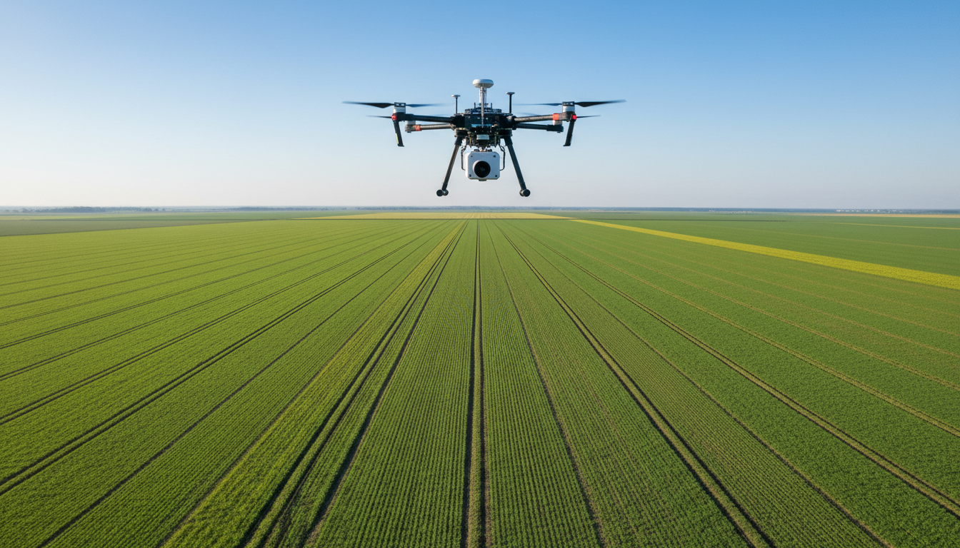
In agriculture, drone mapping is a game-changer. Farmers can use drones to monitor crop health, assess soil conditions, and optimize irrigation. By capturing detailed aerial images, drones provide insights that were previously difficult to obtain. This information helps farmers make informed decisions, ultimately increasing yield and reducing costs.
Drones also enable precise application of pesticides and fertilizers, targeting specific areas that require attention. This precision agriculture approach minimizes waste and enhances sustainability, a crucial factor in today’s environmentally conscious world.
Streamlining Construction Projects
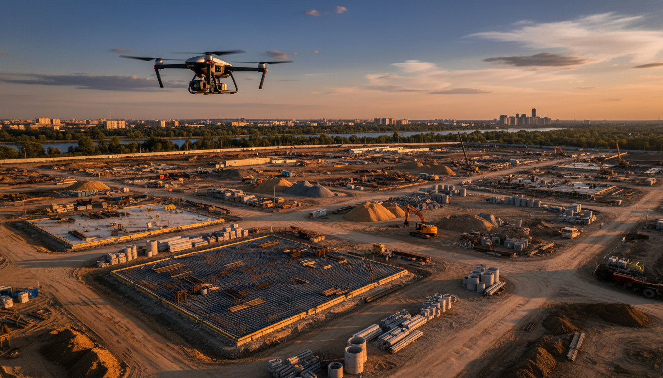
The construction industry in Australia benefits significantly from drone mapping services. Drones can survey construction sites within minutes, providing real-time data and 3D models of the terrain. This capability enhances planning and ensures projects are completed on time and within budget.
Furthermore, drones improve safety by inspecting hard-to-reach areas, reducing the need for workers to be exposed to dangerous conditions. This innovation not only protects workers but also reduces downtime and potential liability issues.
Revolutionizing Mining Operations
Mining operations are complex and require constant monitoring to ensure efficiency and safety. Drone mapping offers a cost-effective solution for surveying large mining sites. With real-time data collection, mining companies can monitor stockpile volumes, track equipment, and analyze site conditions.
By utilizing drones, mining operations can significantly reduce the time and resources spent on manual surveys. This technology also enhances safety by identifying potential hazards before they become critical issues.
Environmental Impact and Compliance
Drone mapping plays a crucial role in environmental monitoring and compliance. In Australia, industries face strict regulations to protect the environment, and drones offer a practical solution for meeting these requirements.
By providing comprehensive data on land use and environmental conditions, drones help industries minimize their ecological footprint. This data is essential for compliance reporting and helps businesses maintain sustainable practices.

Future Prospects of Drone Mapping
The future of drone mapping services in Australia looks promising as technology continues to evolve. With advancements in AI and machine learning, drones will become even more intelligent, capable of processing data autonomously and providing actionable insights.
Industries are likely to see further integration of drones into their daily operations, creating opportunities for innovation and growth. As regulatory frameworks adapt to accommodate these advancements, the potential for drone mapping to transform industries is immense.