
Debunking Common Myths About Drone Mapping Services in Australia
JW
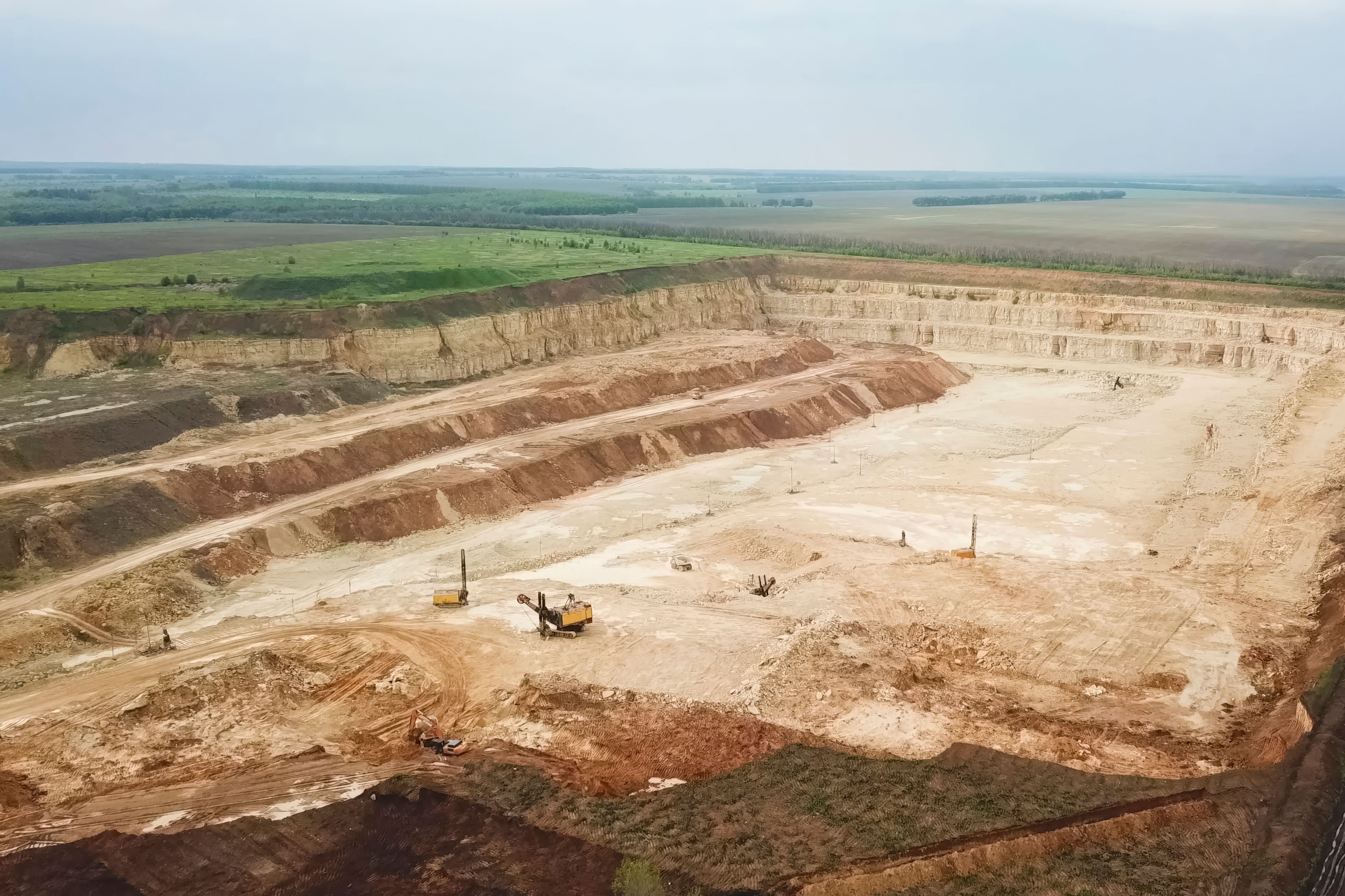
Introduction to Drone Mapping Services
Drone mapping services have revolutionized industries like agriculture, construction, and environmental conservation. However, several misconceptions persist, particularly in Australia. These myths often deter businesses from leveraging the full potential of drone technology. In this post, we will debunk some of the most common myths surrounding drone mapping services.

Myth 1: Drones Are Only for Aerial Photography
Many people believe that drones are limited to aerial photography. While capturing stunning visuals is one capability, drones offer much more. They can generate high-resolution maps, create 3D models, and provide detailed analytics for various sectors. This versatility makes them invaluable tools for data collection and analysis.
For instance, in agriculture, drones can assess crop health and optimize irrigation. In construction, they can monitor progress and ensure site safety. The applications are vast and diverse, proving that drones are not just flying cameras but powerful data-gathering devices.
Myth 2: Drone Mapping Is Inaccurate
Some skeptics argue that drone mapping lacks precision compared to traditional surveying methods. However, advancements in drone technology and software have significantly enhanced accuracy. Modern drones equipped with GPS and advanced sensors can achieve centimeter-level precision.
Moreover, drone mapping allows for frequent data collection, providing up-to-date information that traditional methods cannot match. This real-time data is essential for industries that require constant monitoring and quick decision-making.

Myth 3: Drones Are Not Cost-Effective
The perception that drone services are prohibitively expensive is another common myth. While initial investments might seem high, the long-term savings are substantial. Drones reduce the need for manual labor, minimize risks, and accelerate data collection processes.
Businesses can save on costs related to scaffolding, ground surveys, and other traditional methods. Additionally, the ability to quickly gather and analyze data helps companies make informed decisions, potentially saving significant resources and time.
Myth 4: Drones Are Difficult to Operate
There's a misconception that operating drones requires extensive training and expertise. In reality, modern drones offer user-friendly interfaces and automated flight modes, making them accessible even to beginners. Many service providers offer comprehensive training and support to ensure smooth operations.
Furthermore, regulations in Australia ensure that drone operators are well-trained and certified, maintaining safety and operational standards. This regulatory framework helps both operators and clients feel confident in using drone mapping services.
Conclusion
Drone mapping services offer a range of benefits that extend beyond simple aerial photography. They provide accurate, cost-effective, and user-friendly solutions for various industries. By debunking these myths, we hope businesses in Australia will be more open to exploring the potential of drone technology.
As technology continues to advance, the capabilities and applications of drones will only expand, offering even more opportunities for innovation and efficiency.