
Comprehensive Guide to Drone Mapping Services in Australia
JW
Introduction to Drone Mapping Services
Drone mapping services have revolutionized various industries in Australia, offering an efficient and cost-effective way to gather data and create detailed maps. By using drones equipped with advanced cameras and sensors, businesses can access high-resolution images and actionable insights.
What is Drone Mapping?
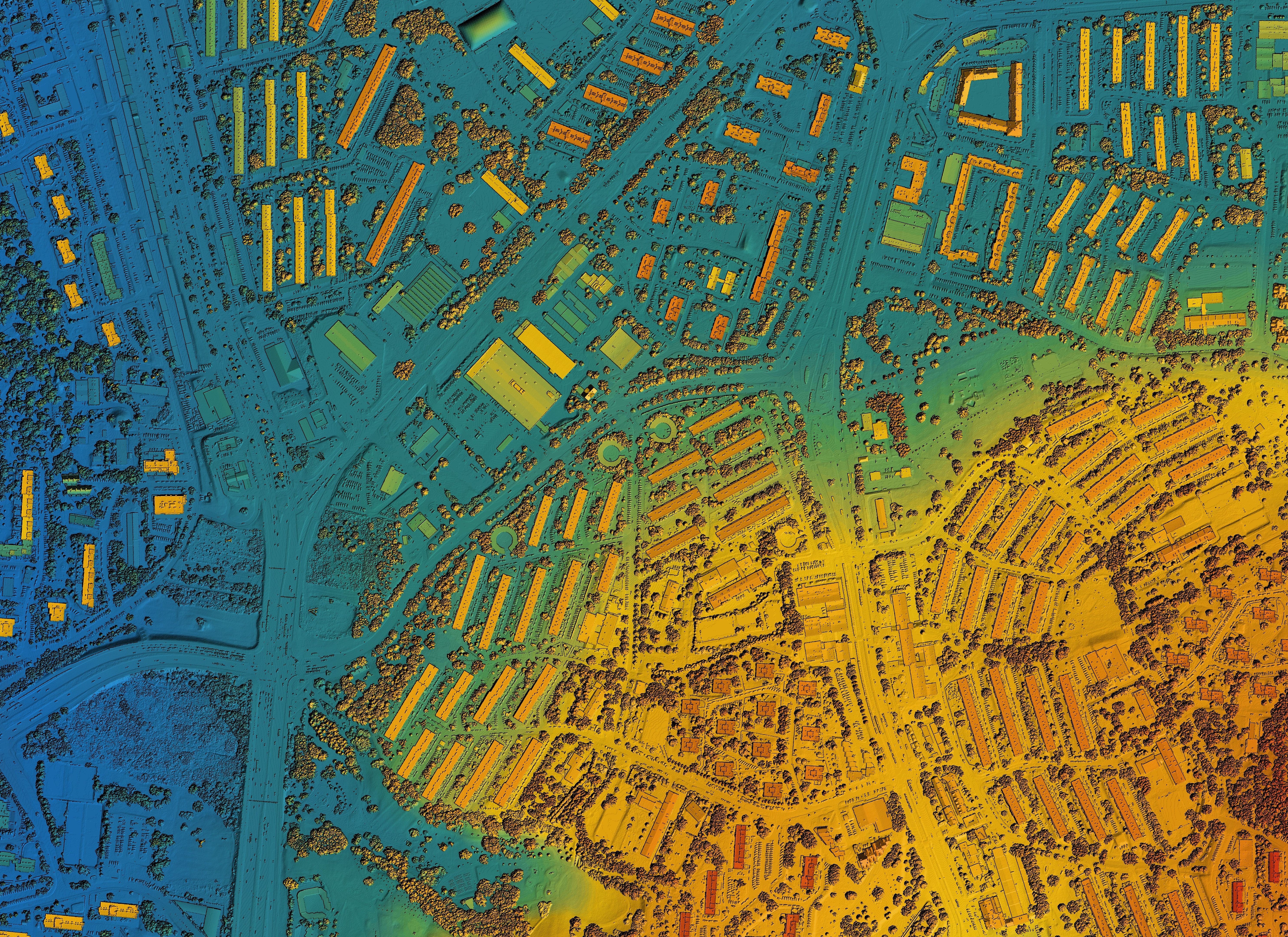
Drone mapping involves using unmanned aerial vehicles (UAVs) to capture aerial imagery and data, which is then processed to create maps or 3D models. This technology is widely used in agriculture, construction, real estate, and environmental monitoring.
The process typically involves flying drones over a designated area, capturing images, and using software to stitch these images together. The result is a comprehensive map that offers more detail than traditional mapping methods.
Benefits of Drone Mapping
Efficiency: Drones can cover large areas quickly, reducing the time needed for data collection compared to ground-based methods.
Cost-Effectiveness: With less manpower required, drone mapping is often more affordable than traditional surveying techniques.
Applications in Different Industries
Agriculture
In agriculture, drone mapping helps farmers monitor crop health, optimize irrigation, and increase yields. It allows for precise field analysis and early detection of pest infestations.
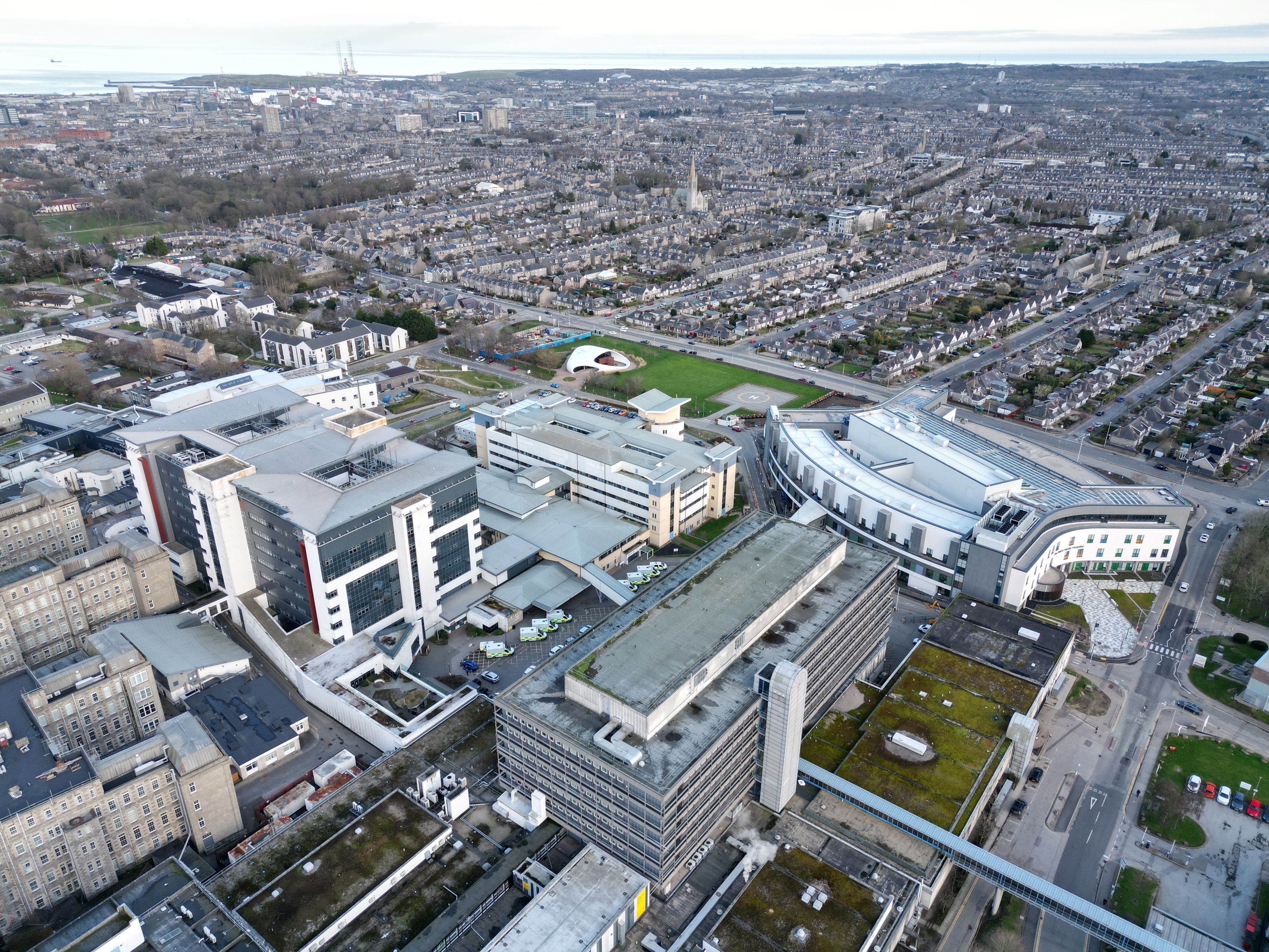
Construction
For construction projects, drones provide up-to-date site information, track progress, and ensure safety compliance. They offer detailed topographical maps and 3D models to assist in planning and execution.
Choosing a Drone Mapping Service Provider
When selecting a drone mapping service provider in Australia, consider the following factors:
- Experience: Look for providers with a proven track record in your industry.
- Technology: Ensure they use the latest drones and software for accurate data collection.
- Compliance: Verify that the provider adheres to Australian aviation regulations.
Future Trends in Drone Mapping
The future of drone mapping in Australia is promising, with advancements in AI and machine learning enhancing data analysis capabilities. Expect more automated processes and integration with other technologies like GIS (Geographic Information Systems).

Conclusion
Drone mapping services are transforming the landscape of data collection in Australia. By offering fast, accurate, and cost-effective solutions, drones are becoming an indispensable tool across various sectors. As technology continues to evolve, the potential applications for drone mapping are virtually limitless.